

Event
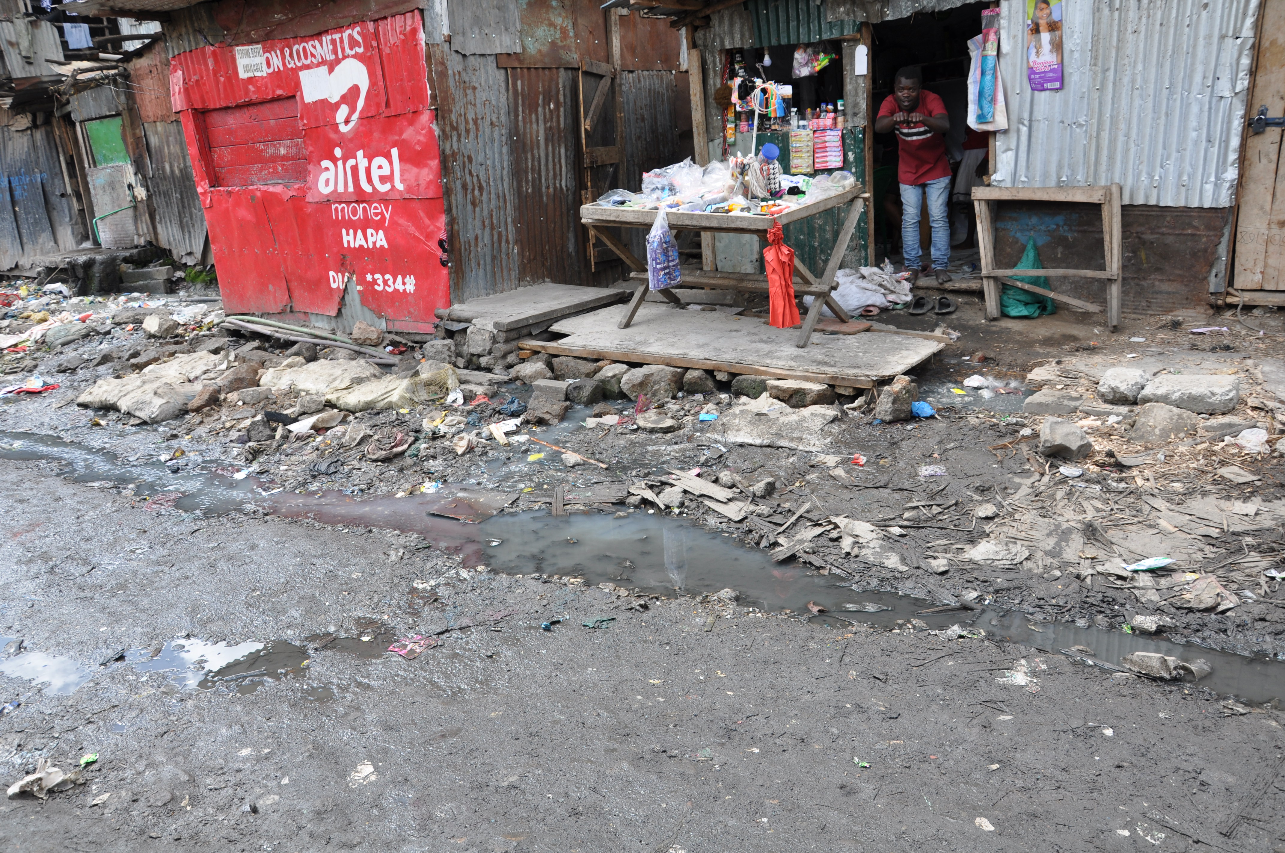
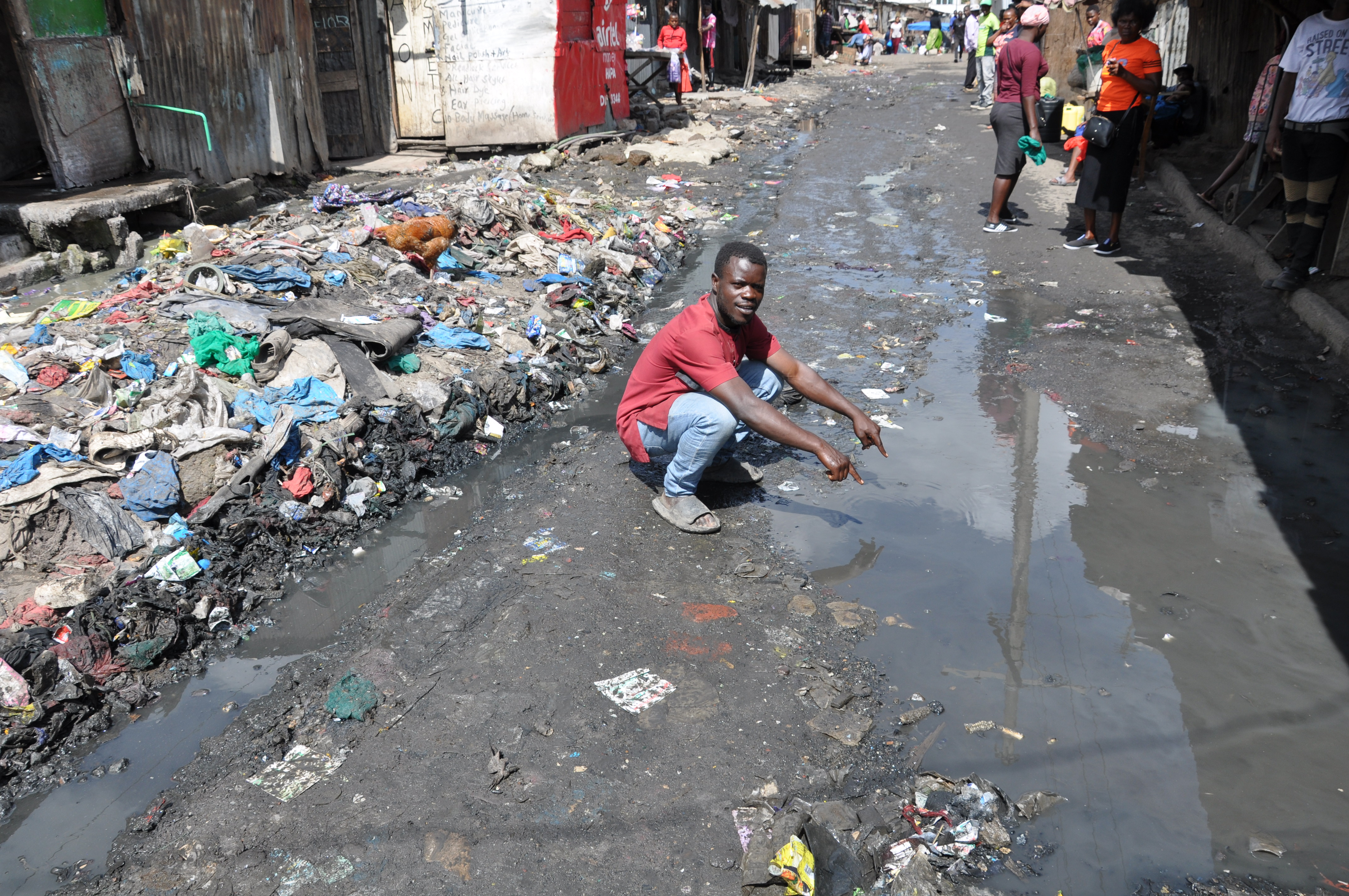
Kenya Mission: Mathare River Corridor
Field research, household surveys, interviews and spatial analysis documenting flood risk in Nairobi’s Mathare informal settlements.
Learn moreUrban Risk, Exposure & Spatial Analysis
URESA-LAB bridges field knowledge, data and spatial design to make vulnerable Southern territories visible and actionable.
Our methodologyFrom Mathare Morphography to River Corridor Strategies
The next phase develops territorial morphography, Mlango Kubwa vertical slum strategies and spatial proposals for the river corridor.
Read the roadmapOur mission
Understanding urban risk through field data, spatial analysis and lived realities.
URESA-LAB designs, tests and implements integrated approaches that combine field research, territorial analysis and data-driven technologies. The Kenya Mathare mission focuses on the river corridor, where flood risk is shaped by spatial configurations, infrastructure failures, waste management practices and social inequalities.
Our impact
Evidence from the Mathare mission
Key findings from the Kenya Mathare field survey and river corridor observations.
883
Mathare survey respondents
52%
households in flood-prone areas
70%
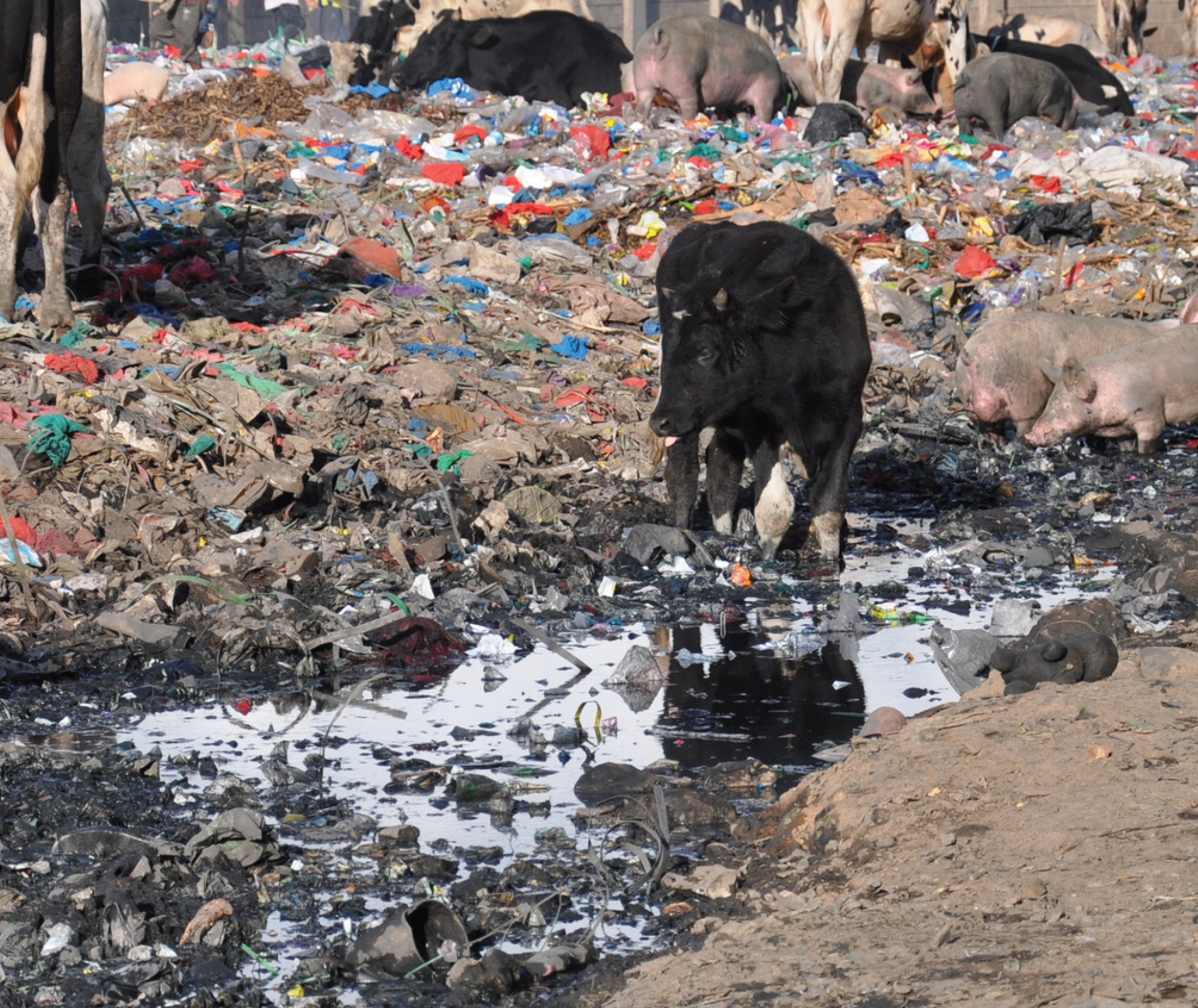
river corridor used as informal landfill
15+
major waste accumulation sites
Featured Programmes

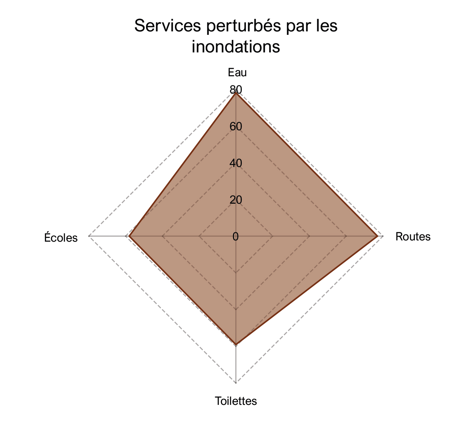
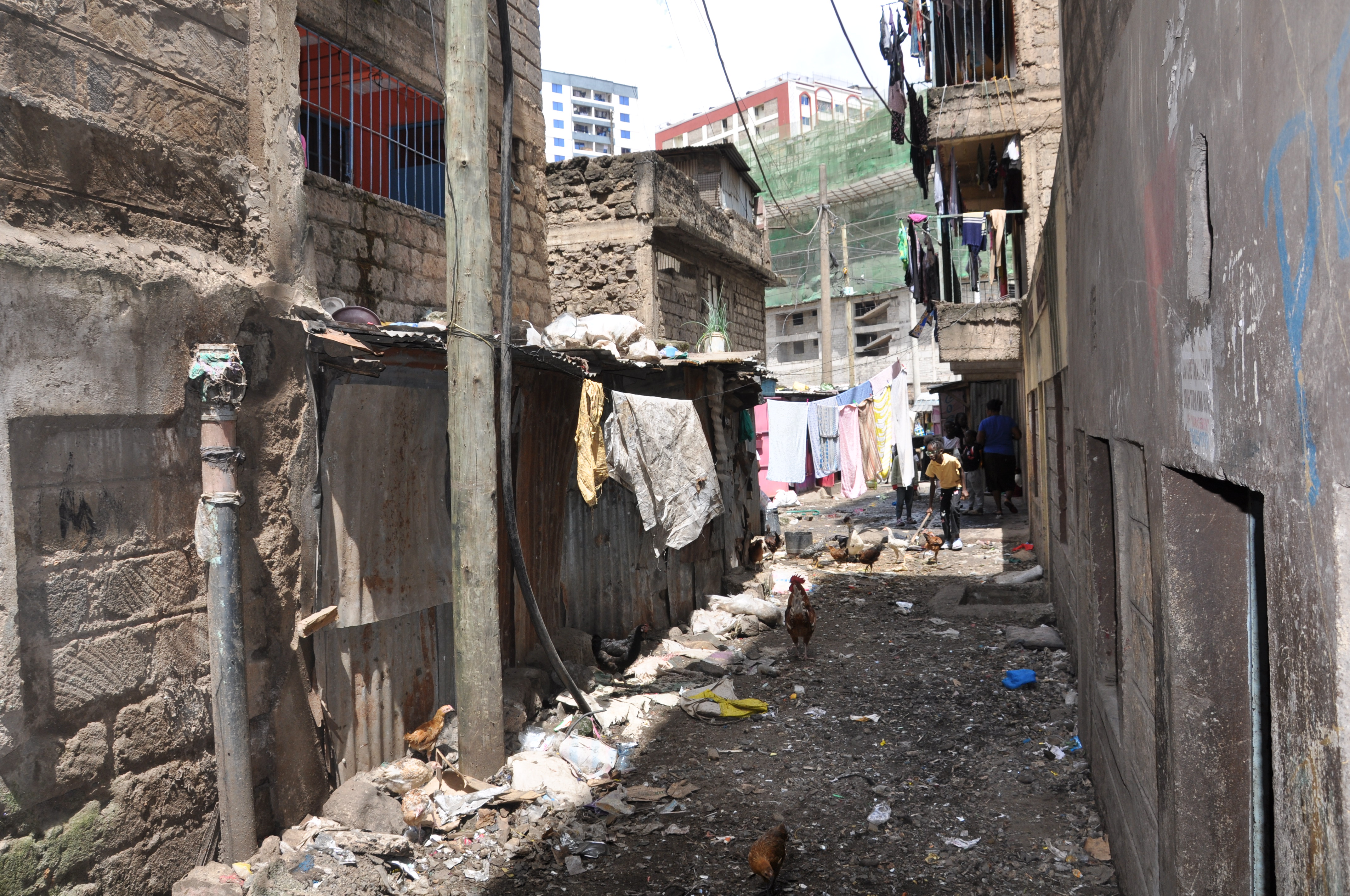
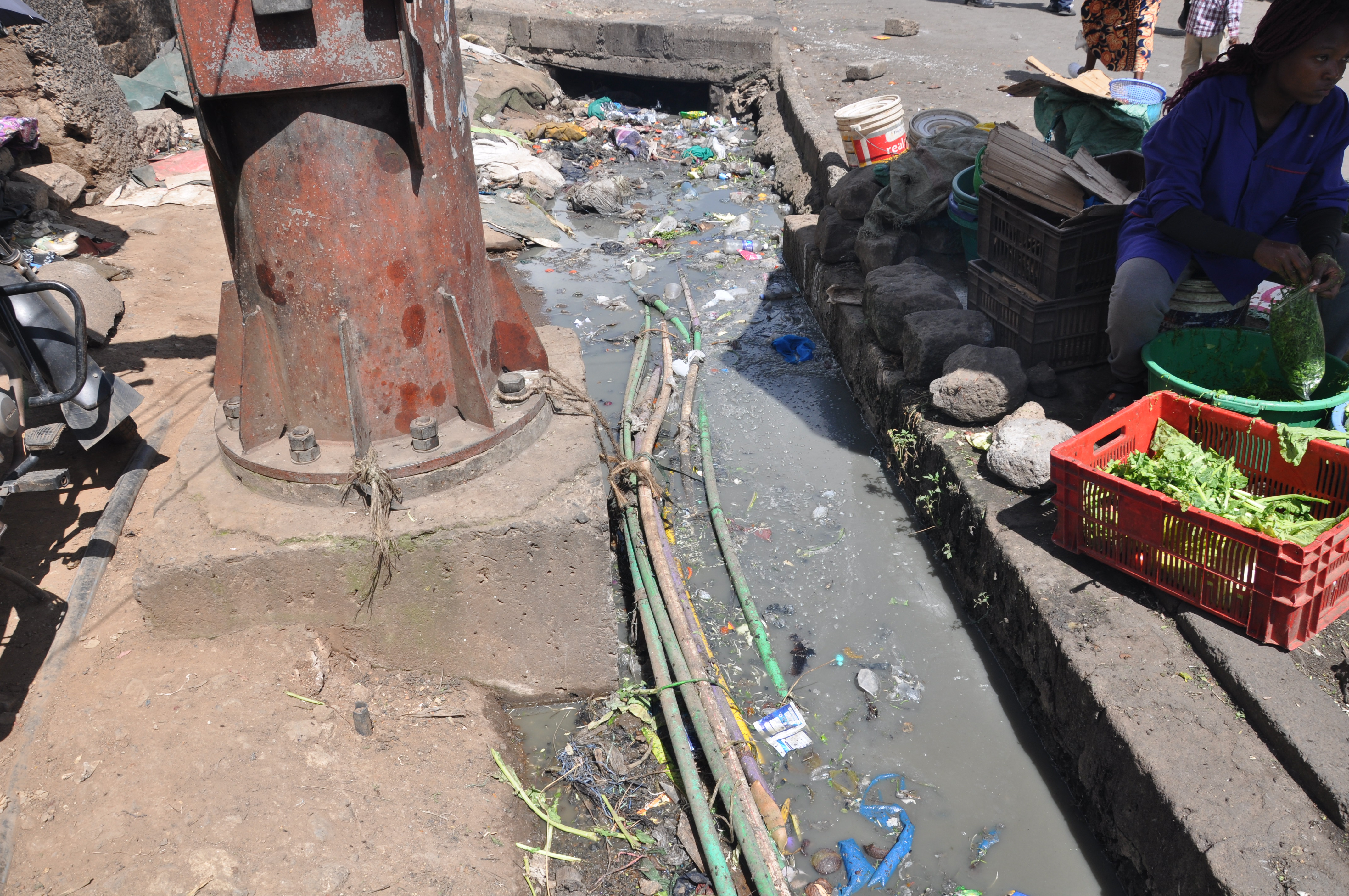
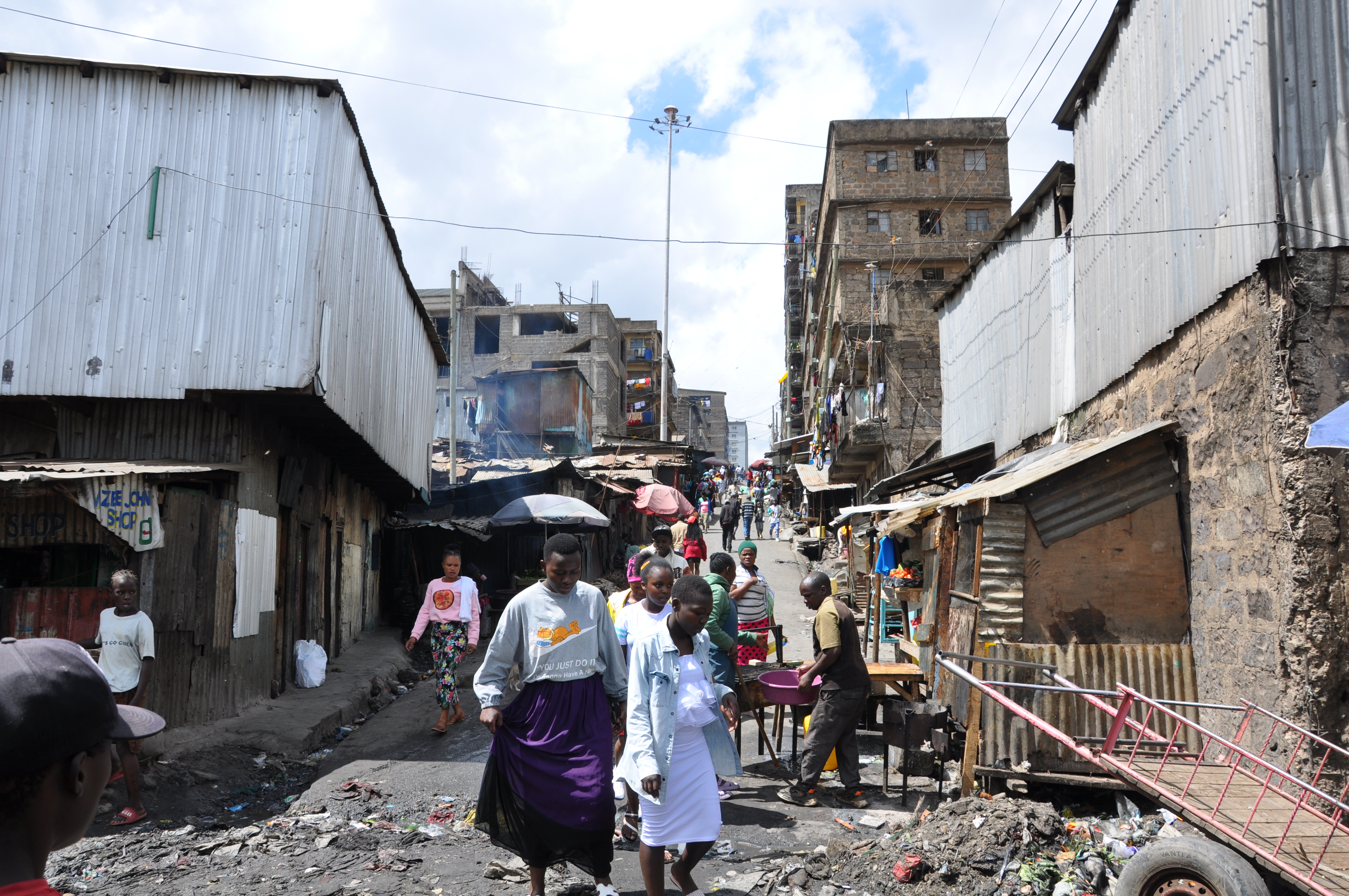
Flood risk in Mathare is not only hydrological; it is produced by space, infrastructure, waste systems and inequality.
Upcoming events
Learning exchanges
Resources