Project overview
Overview
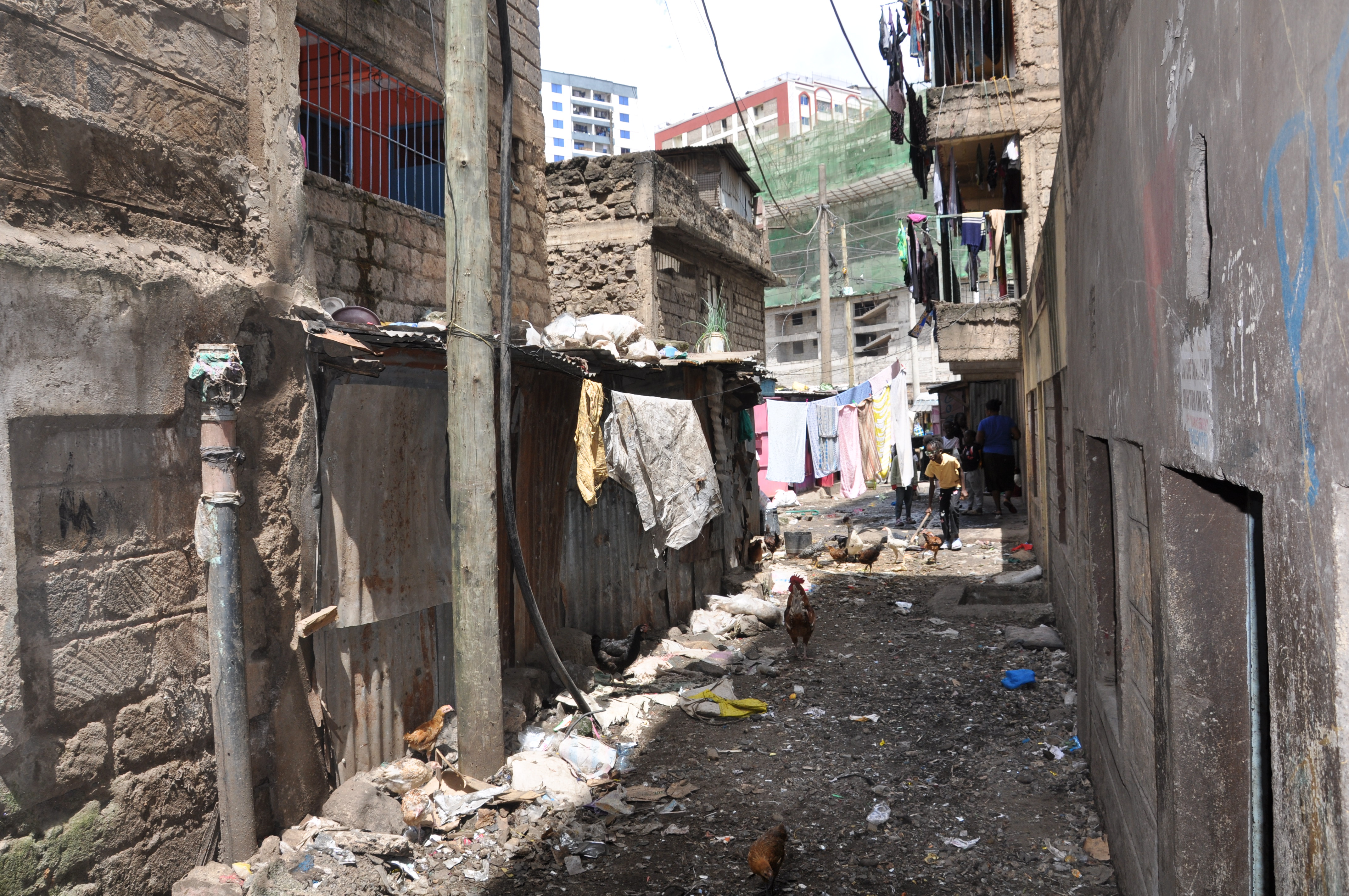
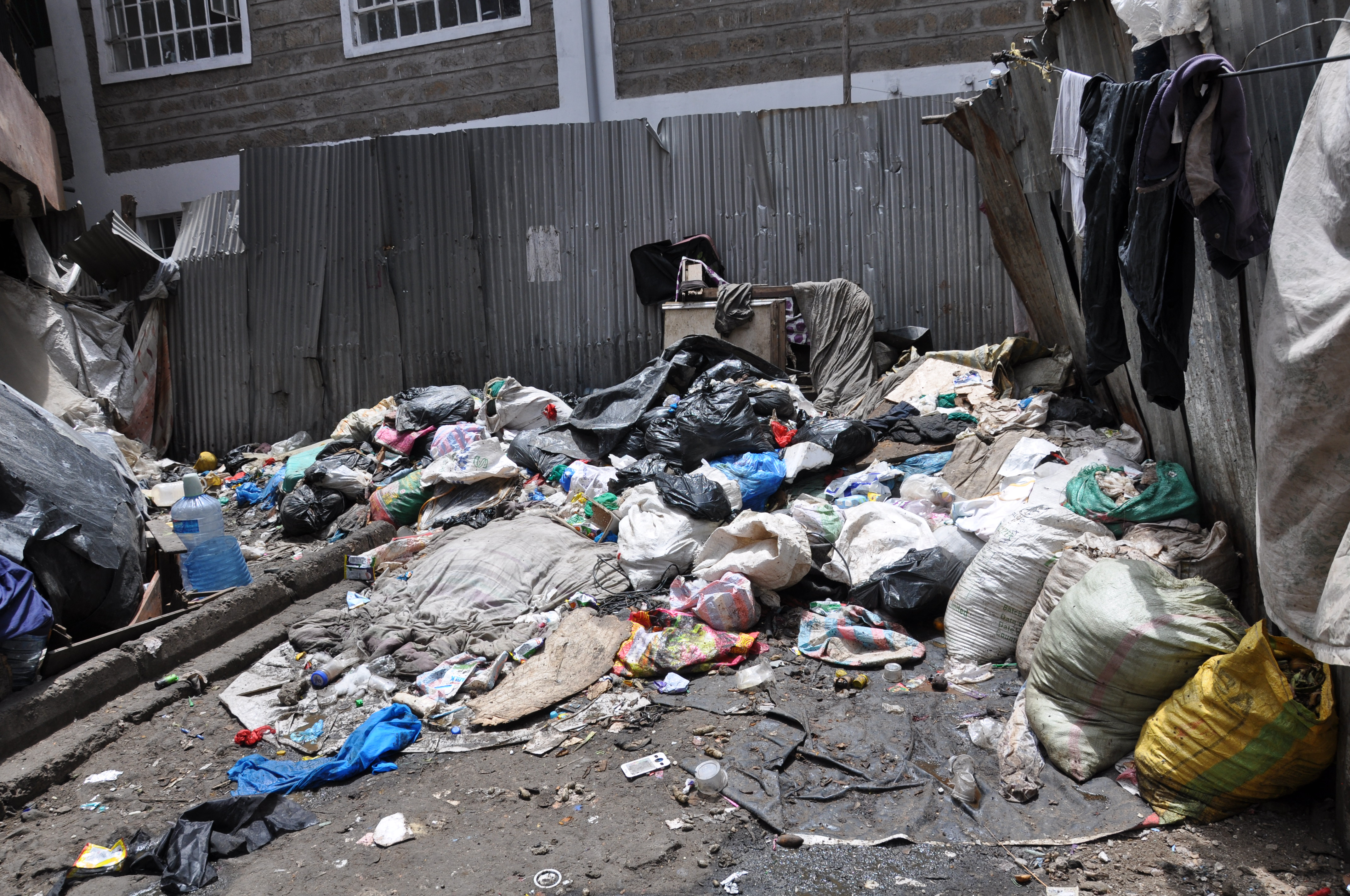
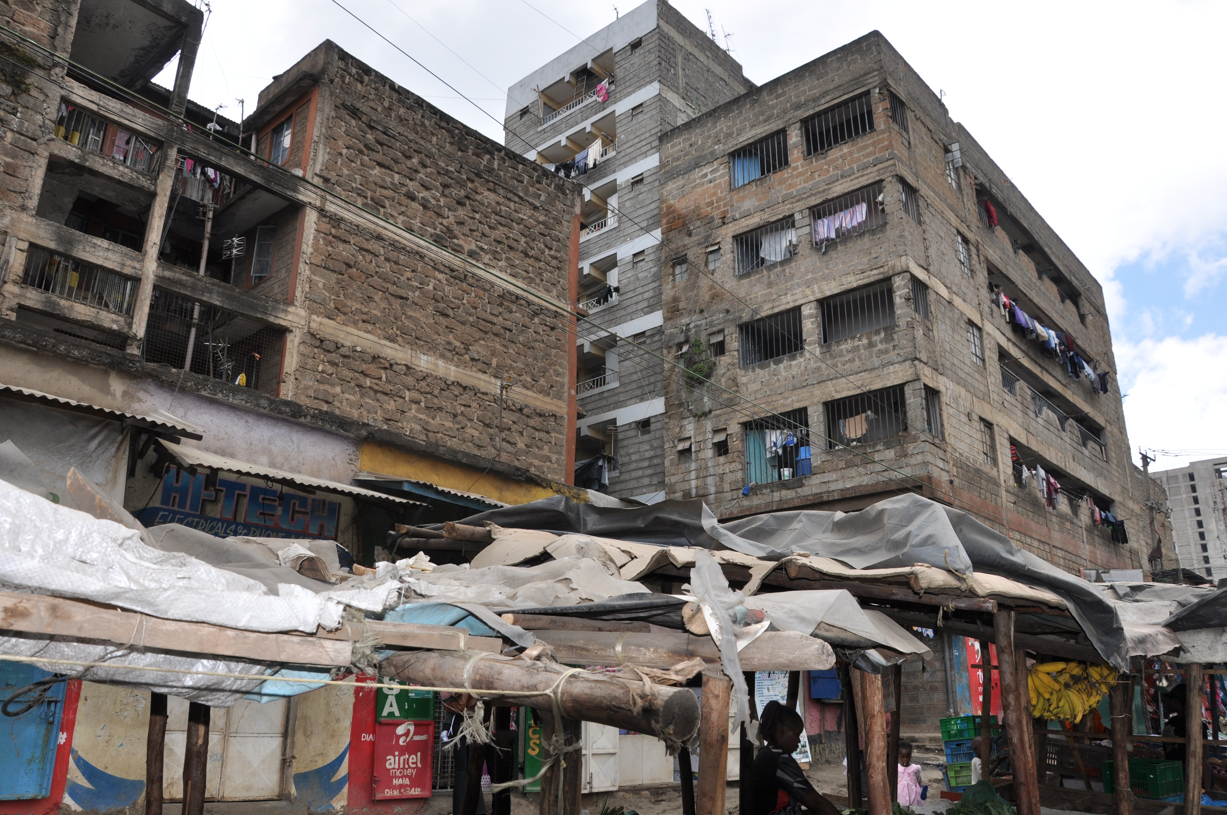
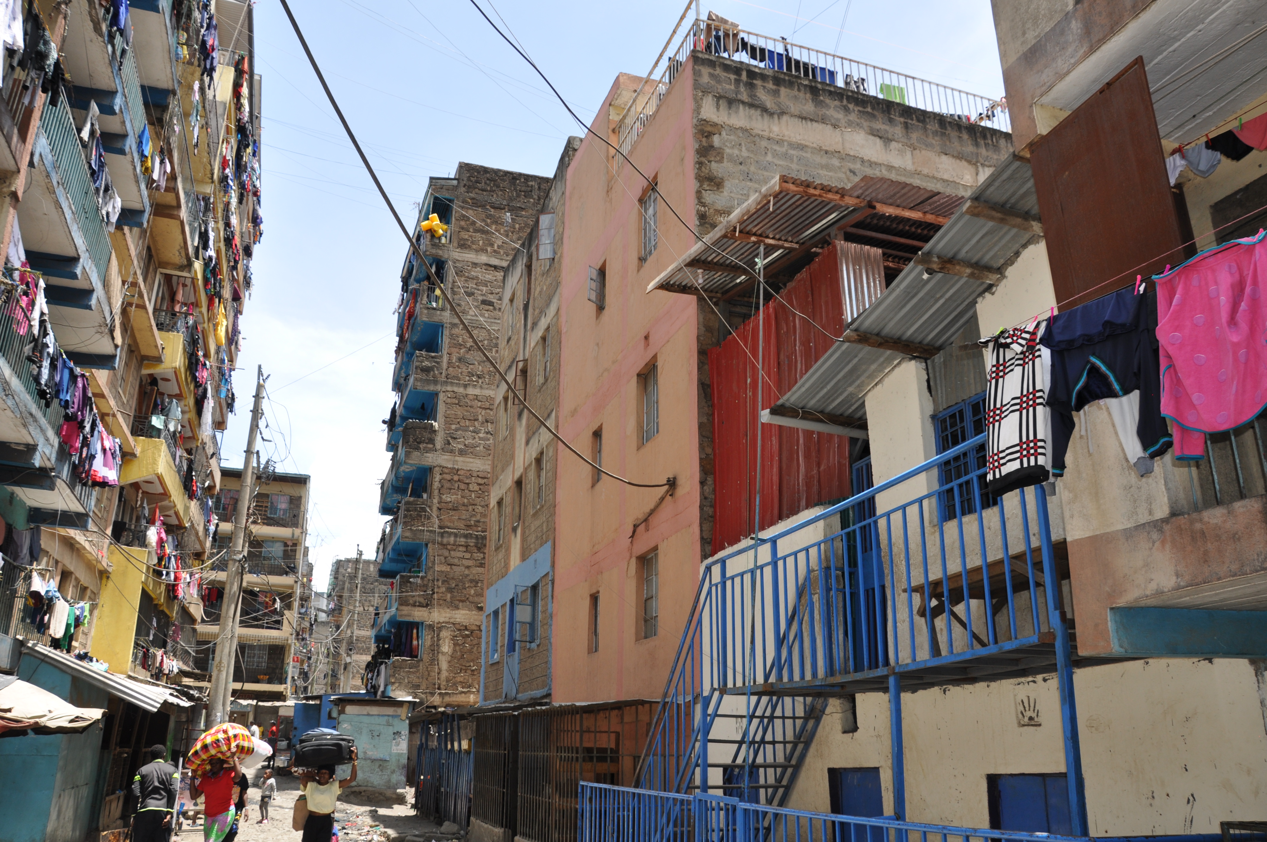
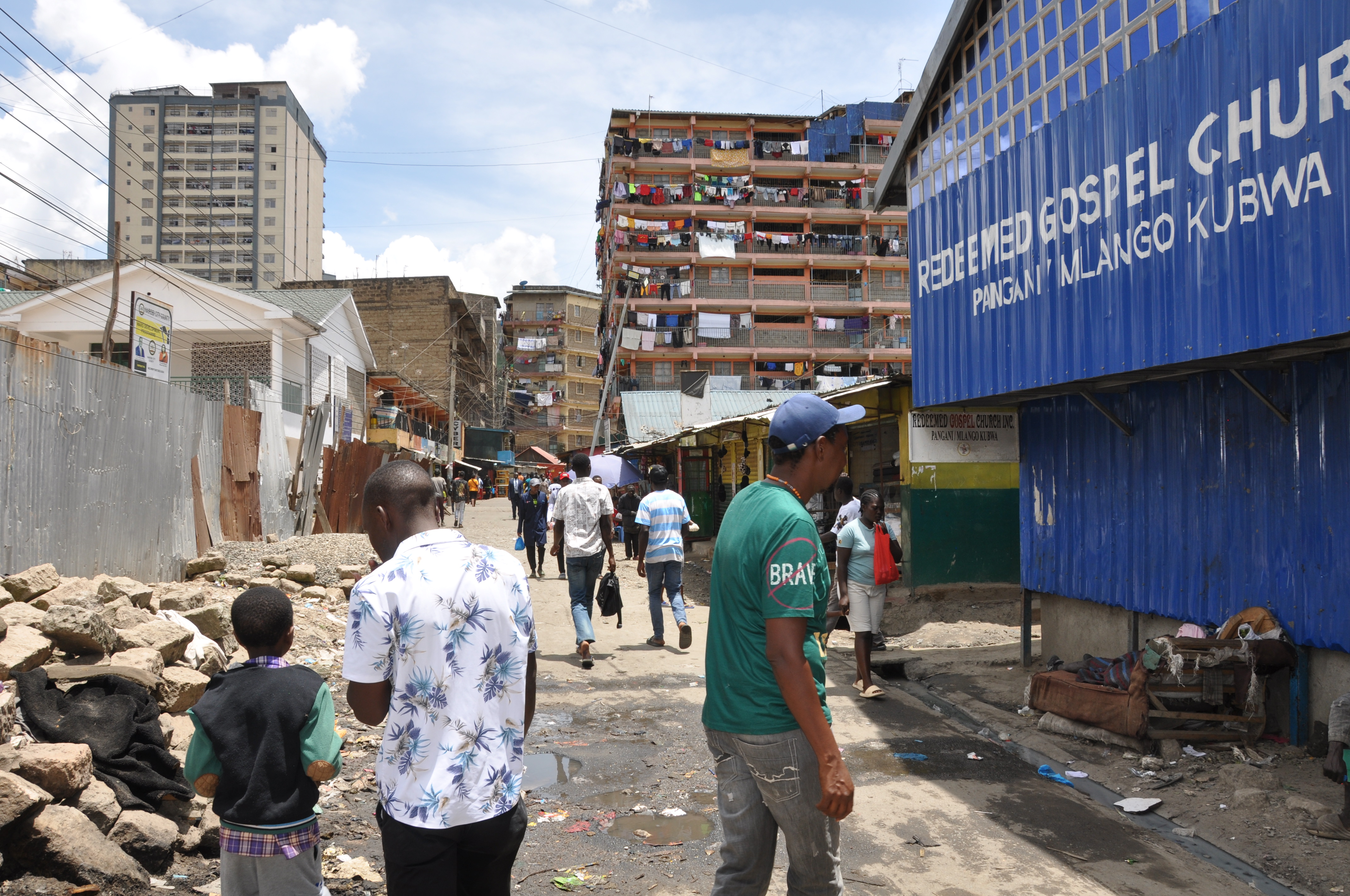
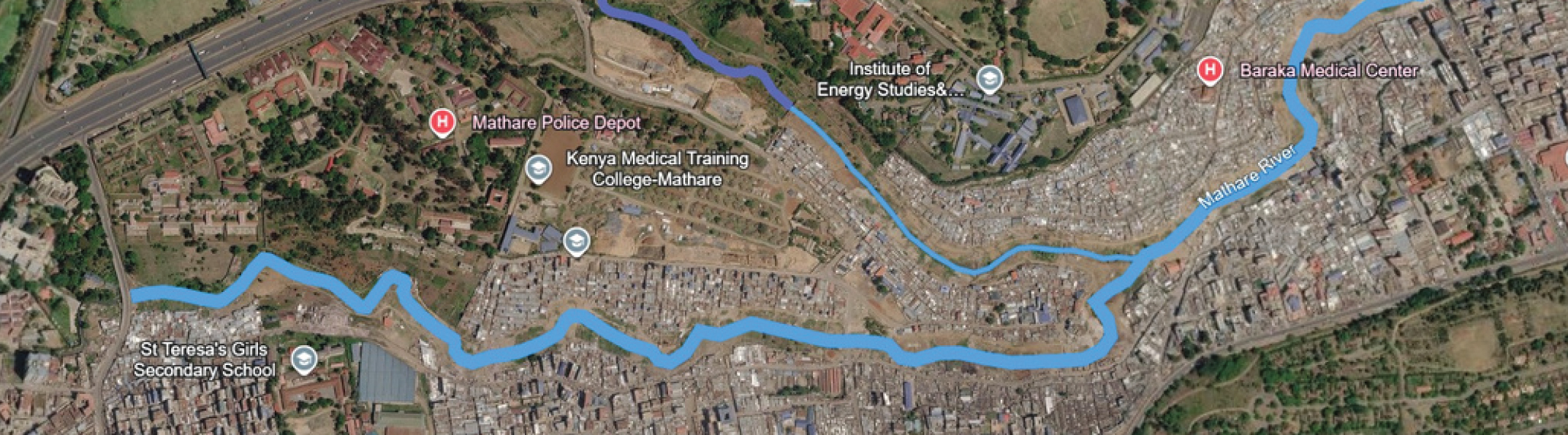
The Mathare work documents flood risk as a systemic condition produced by spatial configurations, infrastructure failures, waste management practices and social inequalities. It uses direct observation, quantitative surveys, qualitative interviews and geospatial thinking to build a practical research foundation.
Objectives
- Document spatial morphology, drainage conditions, waste accumulation and river corridor uses.
- Connect field observations with geospatial analysis and contextual mapping.
- Develop operational research outputs including morphography, physical models and spatial proposals.
Results
- 883 respondents surveyed across Mathare villages.
- Major flood drivers identified: waste accumulation, drainage obstruction, sanitation gaps and river overflows.
- Roadmap defined for June 2026 to January 2027 research and public presentation.
Timeline
- Kenya field mission and Mathare baseline
- Territorial morphography and spatial diagnosis
- Project presentation in Kenya and publication of results
Partners
- University of Nairobi
- Ministry of Lands and Physical Planning
- National Youth Service
- Civil society initiatives